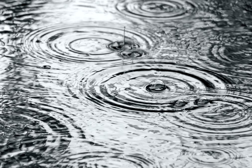

After a slow start, the 2018 precipitation year is well underway after a rainy end to November that pushed past historical averages for the month.
“At our last Board meeting in November we hadn’t received any precipitation, but in the last two weeks we surpassed the average,” Turlock Irrigation District Hydrology Utility Analyst Olivia Cramer told the Board of Director’s at their Tuesday meeting.
Data up until Sunday at TID revealed that two storms in the area over the last two weeks combined for a total of 7.18 inches of rainfall to the Tuolumne River Watershed for the month of November — a total which far exceeds the month’s historical average of 4.13 inches. Accumulated precipitation for the region from September to Dec. 2 now stands at 8.76 inches, however, which is just 69 percent of the watershed’s historical average of 12.7 inches for the period between September and December.
That number should improve this month, Cramer said, since the first two days of December already yielded close to an inch (.81 inches) of precipitation, though the eight-day forecast shows the region receiving less than half an inch of rainfall and close to an inch overall over the next 16 days.
Looking ahead, Director Rob Santos asked Cramer just how accurate the forecast models that TID uses tend to be.
“This time of year, the values jump around a lot,” Cramer said. “Some days on the weekend I’ll look at it and it says four inches, then all of a sudden it jumps to 14 inches. It’s all over the place so it’s difficult to say.”
TID Chief Hydrologist Wes Monier added that the forecast models tend to be about 50 percent accurate, and there’s always a chance that more or less rain than predicted will fall. Forecast models from the Nov. 20 TID Board meeting estimated that the region would see over 10 inches of rain through Dec. 5, which turned out to be a bit less.
“We did get a lot of rain,” Monier said. “It was a good shot, but they were forecasting a lot more.”
Despite numbers coming in lower than predicted, the “shot” of rain Monier referred to brought the watershed from 14.8 percent of normal for the date as of the Nov. 20 water report to 119.8 percent of normal for the date as of Tuesday.
Current snow sensors show that the snowpack is 128 percent of average for the date, but just 23.7 percent of average for what the numbers should be come April 1.
As winter approaches, the National Oceanic and Atmospheric Administration is predicting a mild winter with warmer, wetter weather likely for much of the country from December through February due to a developing El Niño, resulting in hotter-than-average winter temperatures in California and more drought relief for the northern part of the state.