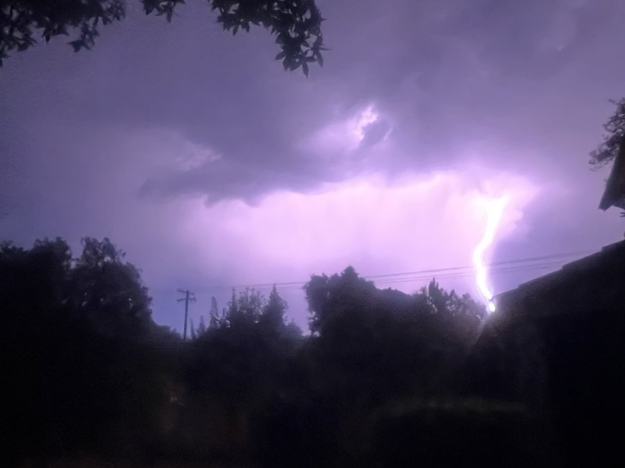
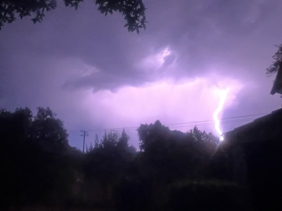
If you’re like most Turlockers, you didn’t get a good night’s sleep after going to bed on Wednesday.
A sustained thunder and lightning storm battered the region for more than four hours late Wednesday night and early Thursday morning, causing windows to rattle and dogs to bark.
According to the National Weather Service in Sacramento, that type of overnight activity is rare, and it wasn’t something that wasn’t on the NWS’ radar … so to speak
“We had some elevated instability combined with some monsoonal moisture that led to thunderstorms developing,” said Kate Forrest, a meteorologist with the NWS in Sacramento. “Monsoonal moisture on the more difficult side of forecasting. All the ingredients have to line up just right. This was definitely a case where the lowest probable outcome ended up happening.”
Forrest pointed out that a similar storm hit the region last year – around September – so this type of activity is not unprecedented. “But it’s definitely uncommon, especially during the overnight hours,” she said.
Thunder activity is typically the result of daytime heating, promoting convection instability that leads to thunderstorms, like you see over the Sierra Nevada Mountains.
“For overnight activity, like we had earlier this week, you need a more pronounced area of instability,” Forrest said.
At about 3 a.m., the storm, which brought just a few sprinkles, packed its bags and headed northeast.
“The stormed moved into the Sierras as the early morning went on,” Forrest said. “It resulted in some prominent thunderstorms later in the afternoon, but east of the crest.”
This reporter resides near Turlock High School, where road construction is under way on Sierra Street. A notoriously sound sleeper, I was awakened by what I thought was somebody stealing one of the road graders parked nearby. Only when I saw a flash of lightning through my window did I realize that the construction equipment was safe. I then spent the next 90 minutes in the back yard enjoying the show. But as a lifelong resident of the region, the sustained intensity of the lightning and the length of the thunderclaps was not something I’d experienced before.
The NWS forecast for the weekend calls temperatures in the 90s, with continued high temperatures though next week.
“It should be great for spending some time outside,” Forrest said. “It will be warm, but still a reprieve from the hot, dry weather we had recently.”